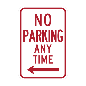
No Parking Any Time
Parking is banned around the clock along the stretch of curb the red arrow points toward. Keep moving and find a legal space elsewhere, since even a brief stop here can bring a ticket or a tow.
94 signs, each with a plain-English meaning. Signs follow the same national standard (the MUTCD) in every state.
No signs match that search.
On the test, and on the road, the shape and color tell you what kind of sign it is before the words do.
Parking is banned around the clock along the stretch of curb the red arrow points toward. Keep moving and find a legal space elsewhere, since even a brief stop here can bring a ticket or a tow.
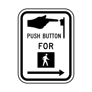
Posted at a crosswalk, the arrow points to the pushbutton pedestrians must press to get a WALK indication. Push it, then wait for the walk signal before stepping into the street.
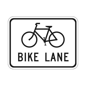
The marked lane is reserved for bicycles only. Drivers must not travel or park in it, and should check the lane for riders before crossing it to make a right turn or reach a driveway.
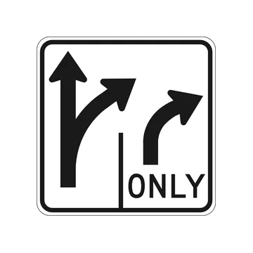
A lane diagram for the intersection ahead: the left lane may go straight or turn right, while the right lane is marked ONLY and must turn right. Pick the correct lane well before you reach the corner.
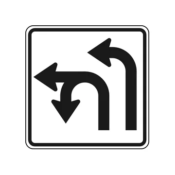
Shows what each left-turn lane ahead allows. From the leftmost lane you may make a U-turn or a left turn; from the lane beside it you may only turn left. Choose your lane early.
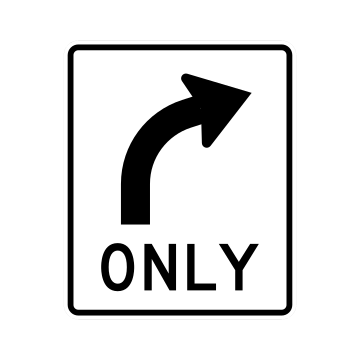
Every vehicle in this lane must turn right. Going straight or turning left from here is illegal, so if you plan to continue ahead, move into another lane before you reach the intersection.
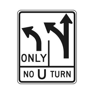
One lane ahead is marked ONLY for left turns while the next lane may turn left or continue straight, and the lower panel warns "NO U TURN" — reversing direction at this intersection is prohibited.
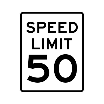
Fifty miles per hour is the maximum legal speed on the road ahead under ideal conditions. Slow below it when rain, traffic, darkness or road work make that speed unsafe.
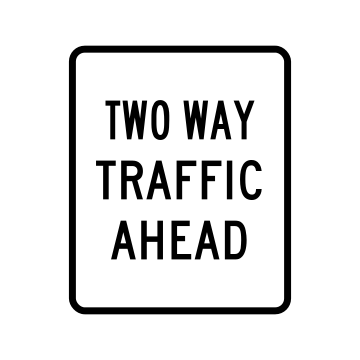
The one-way roadway you are on ends shortly and oncoming vehicles will share the pavement. Stay right of the center line and do not pass by moving into the opposing lane.
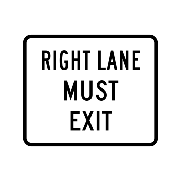
Traffic in the right lane is required to leave the freeway at the upcoming exit. If you intend to stay on the highway, signal and merge left before reaching the ramp.
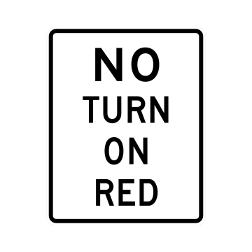
Turning is forbidden while the signal shows red at this intersection. Come to a stop and wait for a green indication before completing your turn.
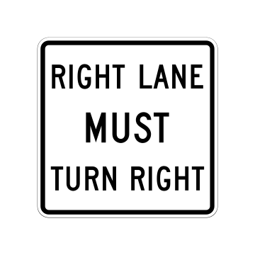
Vehicles in the right lane are required to turn right at the intersection ahead. Drivers heading straight through need to change lanes well in advance rather than at the last moment.
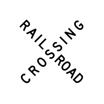
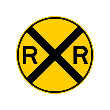
The crossbuck marks the exact spot where the tracks cross the road. Slow down, look and listen both ways, and yield to any approaching train before crossing.
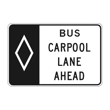
A diamond-marked high-occupancy lane for buses and carpools begins ahead. Only vehicles meeting the posted occupancy rules may use it, so single-occupant drivers should stay in the general lanes.
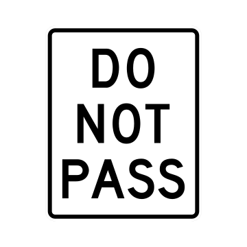
Passing is prohibited on the stretch of road ahead, usually because sight distance is too short. Stay behind the vehicle in front until you reach a section where passing is again permitted.
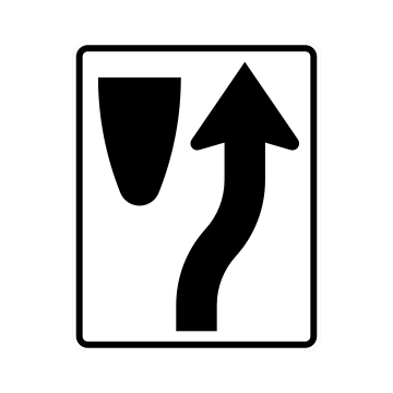
An obstruction, median or channelizing island lies ahead and traffic must go around its right side. Follow the arrow and stay to the right rather than straddling or crossing the divider.
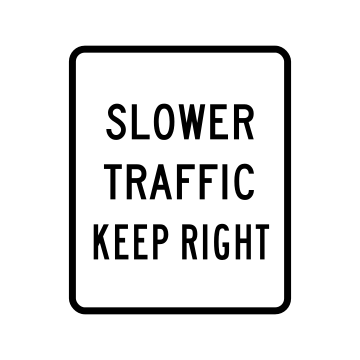
Drivers moving below the normal flow of traffic must use the right-hand lane so faster vehicles can pass on the left. Move over instead of holding up the line behind you.
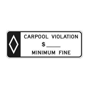
A plaque posted with carpool lane signs warning that misusing the HOV lane carries at least the minimum fine shown in the blank. Enter only if your vehicle meets the occupancy requirement.
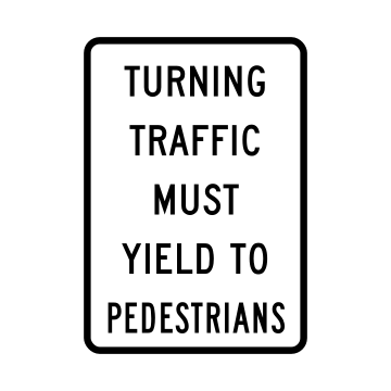
Drivers turning at this intersection must give the right-of-way to people in the crosswalk. Wait for pedestrians to clear your path before completing the turn, even on a green light.
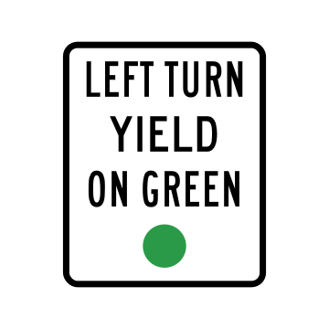
With a circular green signal the left turn is permitted, but you must first yield to oncoming vehicles and to pedestrians. Wait in the intersection for a safe gap before turning.
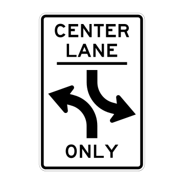
The center lane marked by the opposing curved arrows is shared by traffic from both directions for left turns alone. Never use it for passing or for continuing straight ahead.
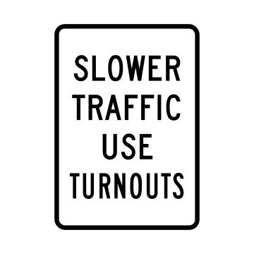
Slow vehicles holding up a line of traffic must pull into the designated turnout areas and let following drivers pass. Common on narrow mountain and rural roads with few passing zones.
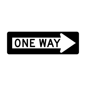
Traffic on this roadway moves only in the direction the arrow points, to the right. Do not turn or enter against the arrow, since doing so would put you head-on into oncoming vehicles.
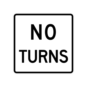
Turning in any direction is prohibited at this location. Continue straight through and find a later intersection if you need to change your route.
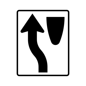
A median, island or other obstruction sits ahead and traffic must pass on its left side. Follow the arrow and stay left rather than splitting the difference or swerving late.
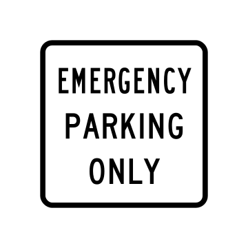
This shoulder or pull-off may be used only when you have a genuine emergency such as a breakdown or medical need. Stopping here to rest, sightsee or make a call is not allowed.
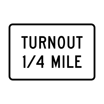
A paved turnout lies a quarter mile ahead where slow-moving vehicles can pull over and let traffic behind them pass. Signal, slow down and use it if a line has formed behind you.
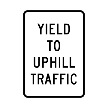
On this narrow or steep grade, drivers heading downhill must give way to vehicles climbing toward them. Be ready to pull over or back up, since uphill traffic cannot easily stop and restart.
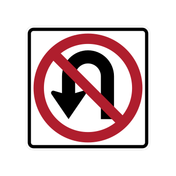
Reversing direction is prohibited at this location. Continue through and find a legal spot to turn around, such as a signalized intersection or a driveway further along your route.
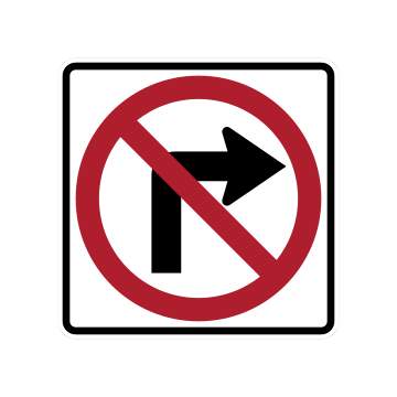
Right turns are not allowed at this intersection or driveway. Keep going straight and plan another route rather than swinging right against the prohibition.
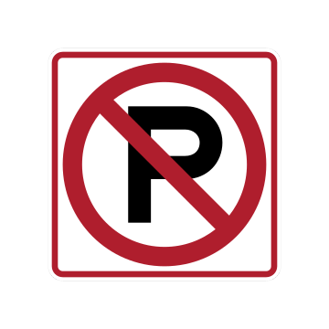
The crossed-out P means parking is prohibited along this stretch of roadway. Leaving a vehicle here risks a citation or a tow, so find a legal space elsewhere.
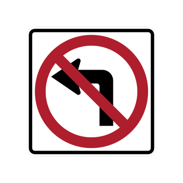
Left turns are prohibited at this intersection or driveway. Continue straight and use a later intersection where the turn is permitted rather than crossing oncoming traffic here.
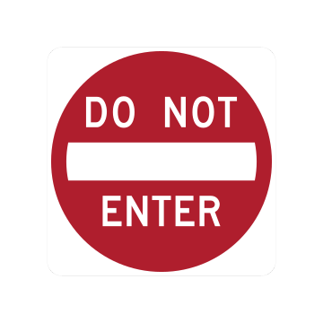
The road beyond this sign is closed to your direction of travel, typically a one-way street or a freeway exit ramp. Do not proceed past it; back away and find another route.
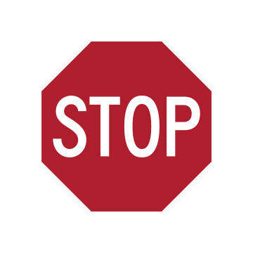
The red octagon requires a full stop at the stop line, crosswalk or edge of the intersection. Yield to cross traffic and pedestrians, then move ahead only when the way is clear.
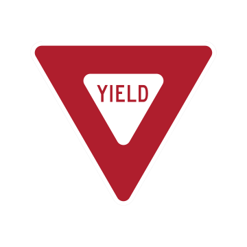
Slow down and give the right-of-way to traffic on the intersecting road and to pedestrians. Stop completely if necessary before merging or crossing, and proceed only when there is a safe gap.
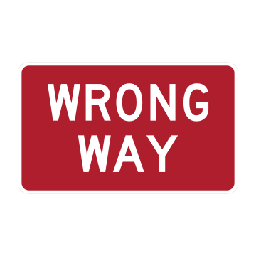
Seeing this sign means you are travelling against traffic on a one-way street or ramp. Stop right away, then safely turn around before an oncoming vehicle reaches you.
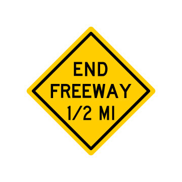
The "END FREEWAY 1/2 MI" legend gives you half a mile to prepare for cross traffic, traffic signals, lower speed limits and at-grade intersections. Start slowing and scanning side streets before the freeway design ends.
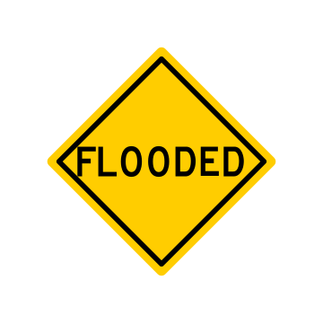
Water covers the roadway ahead. Never drive into it: turn around and find another route, because even shallow moving water can stall an engine or sweep a vehicle off the pavement.
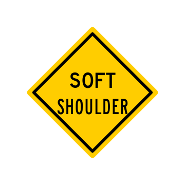
The shoulder beside the pavement is soft or unstable, so a vehicle that drifts off the travel lane can lose control or sink in. Keep your wheels on the pavement and ease back gently if you stray.
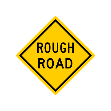
"ROUGH ROAD" warns that the pavement ahead is broken or uneven. Slow down before you reach it so bumps and potholes do not upset your steering, your suspension, or a load you are carrying.
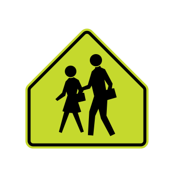
Children cross the road at this marked school crossing. Slow to the posted school speed, watch both curbs for students stepping into the street, and come to a stop to yield for anyone in the crosswalk.
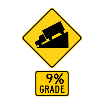
A steep 9 percent grade drops away ahead. Check your brakes, reduce speed and shift into a lower gear before you start down; truckers especially should descend on the engine instead of riding the brakes.
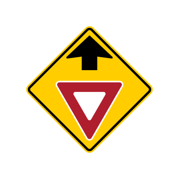
A yield sign controls the junction just ahead. Ease off the accelerator now, look for traffic on the road you are joining, and be ready to give way or stop if the way is not clear.
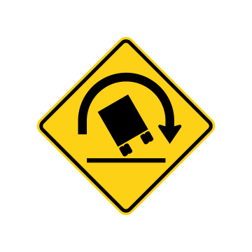
The curve or ramp ahead bends sharply enough that tall, heavy vehicles risk tipping over. Trucks and other high-profile vehicles must cut speed well before entering, not after they are already in the turn.
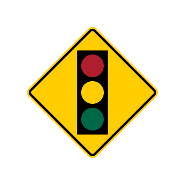
A traffic light stands just ahead and may be hidden by a curve, crest or trees. Ease off the gas, cover the brake, and be ready to stop in case the signal changes as you approach.
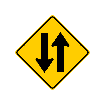
The one-way or divided section ends and oncoming traffic now shares your roadway. Stay to the right of the centerline, do not pass, and watch for headlights coming toward you in the opposite lane.
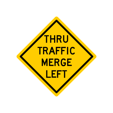
The through lanes shift toward the left ahead. Signal, check your mirrors and blind spot, and move left in good time, blending with the traffic already there instead of merging at the last moment.
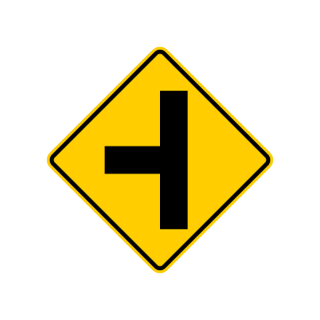
A side road joins your highway from the left ahead. Watch for vehicles pulling out or turning across your path, cover the brake as you approach, and be ready to adjust your speed at the junction.
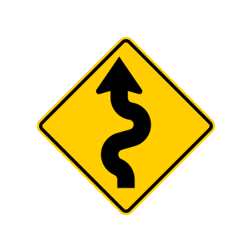
Three or more successive curves lie ahead, the first one bending to the left. Slow down before the first bend and hold a steady speed through the whole series rather than braking hard in each turn.
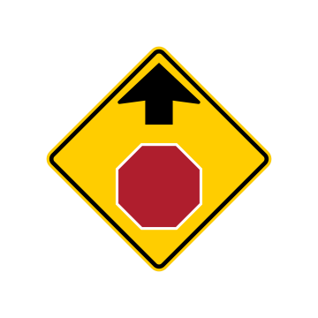
A STOP sign is coming up, often out of sight behind a curve, crest or trees. Begin slowing now so you can make a full stop at the line instead of braking hard at the last second.
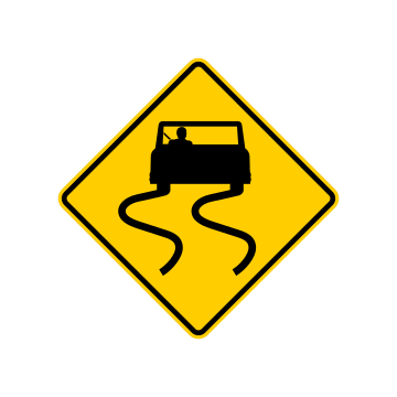
The surface ahead turns slick in rain, ice or damp weather, and tires lose grip easily. Cut your speed, increase your following distance, and avoid sudden braking, hard acceleration or sharp steering inputs.
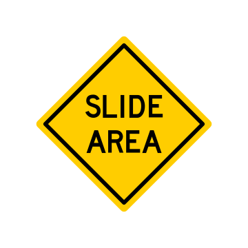
"SLIDE AREA" means rock, mud or earth can wash down onto the roadway here, especially after heavy rain. Stay alert, keep your speed down, and scan the pavement ahead for fallen debris.
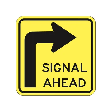
A traffic signal controls the right-turn movement just ahead. Slow as you approach, move into the turn lane early, and be prepared to stop and wait for the light before completing the turn.
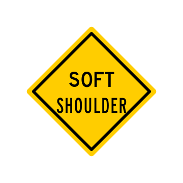
The edge beside the pavement will not safely support a vehicle. Avoid pulling off here, and if a wheel does drop off the edge, slow gradually and ease back onto the pavement rather than jerking the wheel.
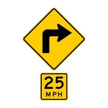
A sharp right turn is coming up, with an advisory speed of 25 shown below the arrow. Slow to 25 mph or less before you enter the turn, since braking inside a curve can break traction.
A highway-rail grade crossing lies ahead. Slow down, look and listen in both directions, and be ready to stop; never start across unless you can clear all the tracks completely.
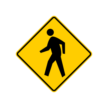
People on foot may be crossing ahead. Reduce speed, scan the shoulders and the crosswalk area, and yield to any pedestrian already in the roadway, including children and older walkers who move slowly.
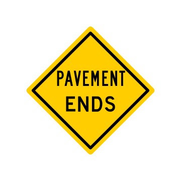
The paved surface ends ahead and the road becomes gravel or dirt. Slow well before the change, expect loose material and dust, and steer and brake gently once you are on the unpaved surface.
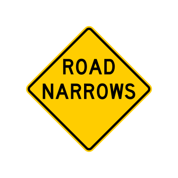
The roadway becomes noticeably narrower ahead, leaving less room for two vehicles to pass. Reduce speed, keep well to your own side, and watch the edge line as the pavement pinches in.
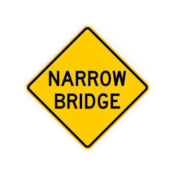
The bridge ahead is narrower than the road leading up to it, so lanes and shoulders tighten. Slow down, center yourself in your lane, and take extra care when meeting oncoming traffic on the span.
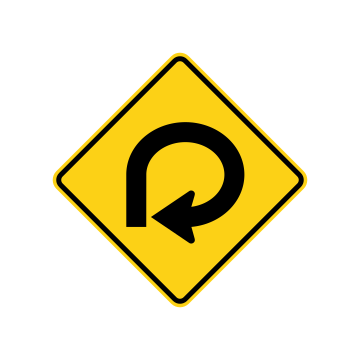
The roadway curls through a full 270-degree loop ahead, the shape of a typical loop ramp. Slow to a safe speed before you enter and hold it steadily, because the curve stays tight all the way around.
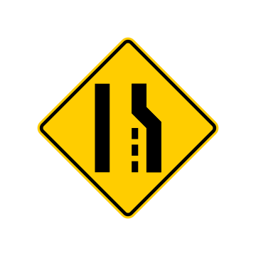
The right-hand lane runs out a short distance ahead and its traffic must move into the through lane. If you are in that lane, signal early and merge left; if you are not, leave room for those merging.
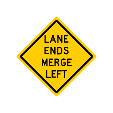
Your lane ends ahead and you must move into the lane on your left. Signal, check your mirror and blind spot, then adjust speed to slide into a gap instead of stopping at the end of the taper.
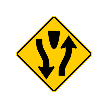
The road ahead splits around a median into a divided highway. Keep to the right of the divider and expect traffic on your side to run one way only; do not turn left across the median except at an opening.
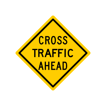
An intersection ahead carries vehicles across your path. Ease off the accelerator, look left and right well before the junction, and be ready to slow, stop and yield to the crossing traffic.
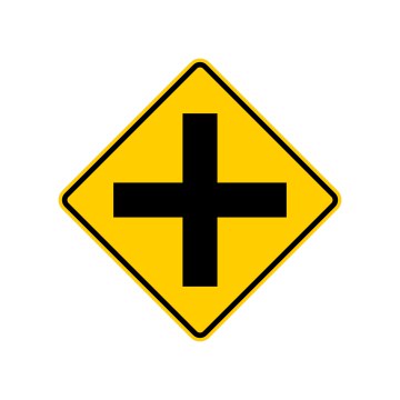
A four-way intersection lies ahead, with roads entering from both the left and the right. Scan both sides as you approach and be ready to yield to any vehicle already entering the intersection.
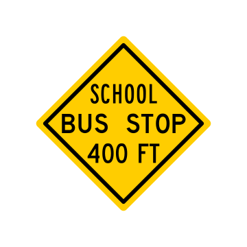
A designated school bus loading stop is 400 feet ahead. Slow down and expect a stopped bus with flashing lights, plus children walking along the shoulder or crossing the road in front of it.
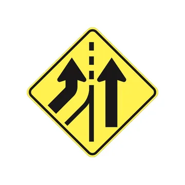
A lane enters from the left and continues alongside yours, so through traffic does not have to merge. Hold your lane and your speed, but watch for entering vehicles settling into the space beside you.
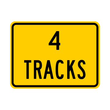
"4 TRACKS" tells you the railroad crossing ahead carries four separate sets of rails. More than one train may be approaching, so never move forward until every track is clear.
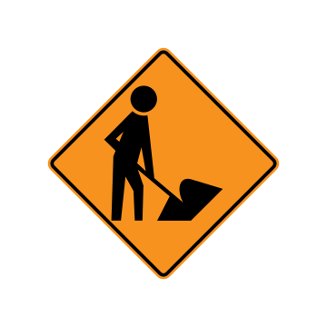
An orange diamond with a shoveling worker and a "WORKERS" plaque means highway crews are on or near the roadway ahead. Slow down, be prepared to stop, and watch closely for people moving through the work zone on foot.
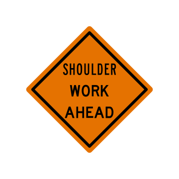
Construction or maintenance crews are working on the shoulder ahead. Slow down, stay in your travel lane, and do not use the shoulder to pass or pull off until you are past the work area.
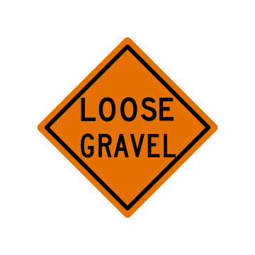
Loose gravel or stone covers the road surface ahead. Reduce speed before you reach it so your tires do not skid, and increase your following distance so you are not throwing stones at the vehicle in front.
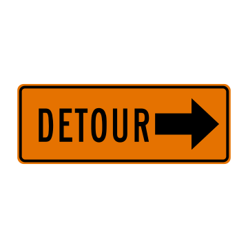
The normal route is closed or obstructed ahead, and the large arrow shows the direction of the detour. Follow the marked detour route rather than trying to continue through, and stay alert for the next detour marker.
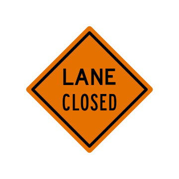
A traffic lane ahead is closed for work. Merge out of the closed lane early rather than racing to the end of it, and let other drivers zipper in smoothly when the lanes come together.
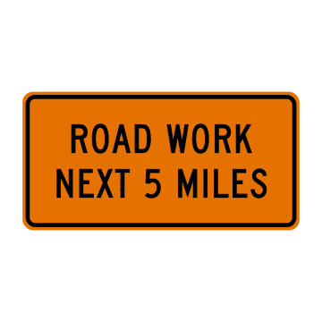
Marks the start of a work zone that continues for the next 5 miles. Expect construction activity, reduced speed limits and possible delays over that whole distance, and keep speeds down until you pass the end-of-work-zone sign.
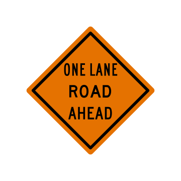
The road ahead narrows to a single lane shared by traffic in both directions. Slow down and be ready to yield or stop for oncoming vehicles or for a flagger controlling who moves through.
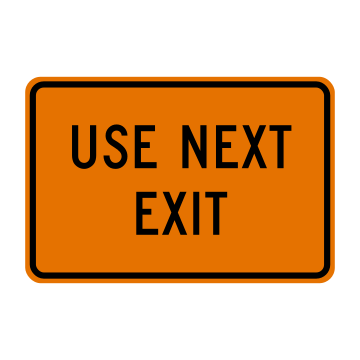
Posted with a road-closed warning, this orange plaque tells you the roadway ahead is closed or blocked by work. Leave the highway at the next exit and follow the detour or an alternate route from there.
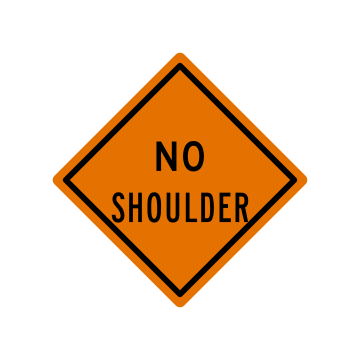
There is no usable shoulder along the road ahead, so there is nowhere to pull off if you have trouble. Stay in your lane, keep clear of the pavement edge, and handle any stop before this stretch.
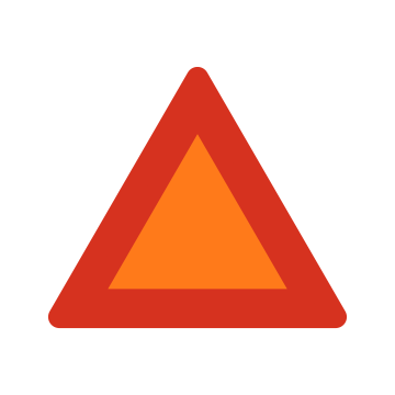
The orange triangle in a red border is mounted on the back of a vehicle that travels 25 mph or less, such as farm or construction equipment or an animal-drawn vehicle. Slow down early and pass only where it is safe and legal.
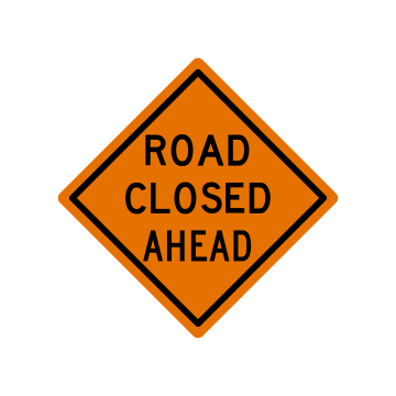
Warns that the road ahead is closed to through traffic. Prepare to stop or take an alternate route, and start looking for detour signs or a turnoff instead of continuing to the barricade.
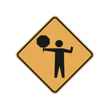
The black figure holding a STOP paddle means a flagger is controlling traffic in the work zone ahead. Slow down and obey the flagger's directions exactly, since their instructions carry the same authority as a traffic signal.
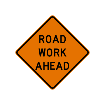
Highway construction or maintenance work is taking place ahead. Slow down, increase your following distance, and be ready for workers, equipment entering the road and lane or surface conditions that change without much notice.
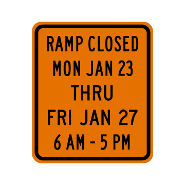
Gives advance notice that the ramp will be closed for construction "MON JAN 23 THRU FRI JAN 27" from 6 AM to 5 PM. Note the days and hours, and plan another route or exit during those times.
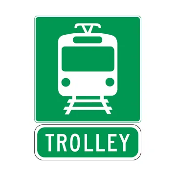
This green guide sign with a light-rail symbol and TROLLEY plaque points the way to a trolley or light-rail stop. Expect trolleys and pedestrians crossing near the station.
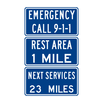
Blue guide panels carry service information: "EMERGENCY CALL 9-1-1" for help, "REST AREA 1 MILE" for a place to stop, and "NEXT SERVICES 23 MILES." Use them to plan fuel, food and rest stops before you run short.
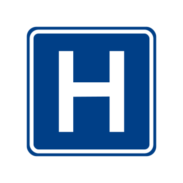
A blue panel with a large block "H" points the way to a hospital with emergency medical services ahead or in the direction shown. Follow it if you need urgent care, and expect ambulances entering the roadway nearby.
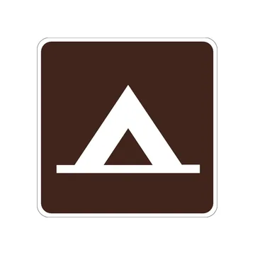
Brown recreation signs mark parks and public sites, and the white tent symbol shows the route to a campground or tent camping area. Watch for vehicles slowing to turn in and for pedestrians near the entrance.
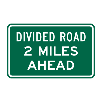
Green guide panel reading "DIVIDED ROAD 2 MILES AHEAD" warns that the roadway becomes a divided highway with a median separating opposing traffic. Stay right as the lanes split, and never turn or drive against traffic on the far roadway.
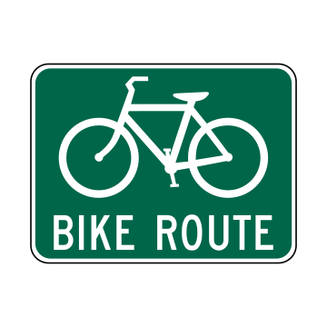
Green panel with a bicycle symbol identifies a roadway designated as a bicycle route that cyclists are encouraged to use. Expect bicycle traffic in your lane, leave plenty of room when passing, and check for riders before turning.
Points to a park-and-ride lot where you can leave your vehicle and continue by carpool or transit. Signal early and slow down for the turn into the lot, since traffic often backs up around it at commute times.
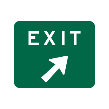
Placed at the gore point where the ramp separates from the highway, the diagonal arrow shows the exit leaving to the right. Be fully in the exit lane before this point, and slow to ramp speed after you leave the through lanes.
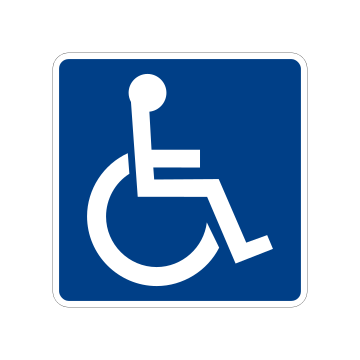
The International Symbol of Accessibility identifies parking spaces, facilities, or a route usable by people with disabilities. Park in a marked accessible space only with a valid placard or plate, and keep access aisles clear.
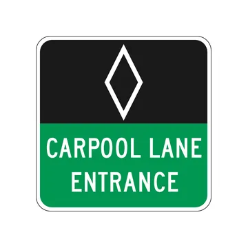
The white HOV diamond over the words "CARPOOL LANE ENTRANCE" marks where a high-occupancy-vehicle lane begins. Only vehicles carrying the posted number of occupants may enter, so check your passenger count before merging in.
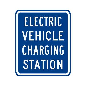
Blue service sign showing that an electric vehicle charging facility is available at or near this location. Plan your stop here if your battery is low, and use it to space out charging on longer trips.
Drill every sign on your phone, along with the rest of your state’s test.

USA DMV (usadmv.app) is an independent study resource. It is not affiliated with, endorsed by or operated by any state DMV, the Texas Department of Public Safety or any other government agency. Practice questions are written to reflect official driver handbooks but are not the official test questions. Always confirm current requirements with your state’s licensing agency.